In May 2024, road safety advocates went out into their communities to do Mobility Snapshots at local intersections, demonstrating the dangerous realities faced by people on their daily journeys, but also that proven solutions are available to make them safe. Check out the Mobility Snapshots in the map below and read the publication HERE.
The Mobility Snapshots are a data-driven wake up call: many of our streets are not safe for the people that use them. Yet, it is also a hopeful message: the proven solutions are available and are cost effective. We see examples around the world of how cities are transforming their streets to make them safe for walking and cycling.
Be part of a civil society movement driving change on behalf of everyone that uses our streets. Strengthen your advocacy as part of a global movement, bringing community data to spotlight the needs of those who are most at risk and showing authorities how to make them safe.
It’s easy to join the Mobility Snapshot initiative. Taking part will help you to advocate for road safety interventions that have been proven to save lives, backed with local data. The Mobility Snapshots will be the Alliance’s main campaign tool for the upcoming UN Global Road Safety Week in May. Find out more by clicking the buttons below.
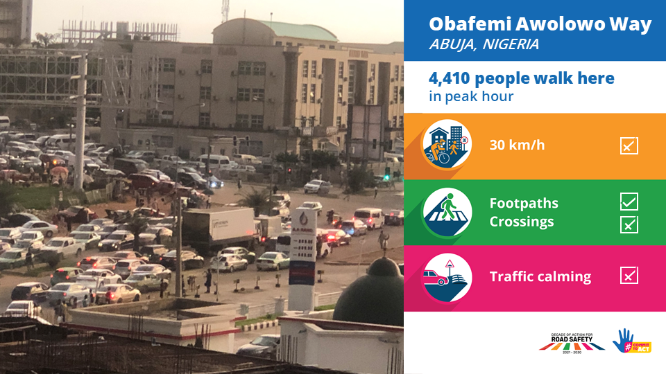
A Mobility Snapshot is data collected at a specific intersection in your local community. Using tools that will be provided closer to the campaign date, you will analyze how many people are using the intersection and whether life-saving road safety interventions are in place to protect those people.
Example:
We have accepted unsafe and unsustainable streets as normal and inevitable.
Yet, we know the proven, cost-efficient solutions to fix them.
We need to shine a light, using data to show the reality of people’s journeys to school, work, and shopping.
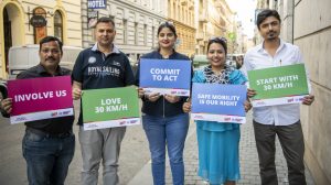
SAFE MOBILITY IS OUR RIGHT
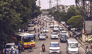
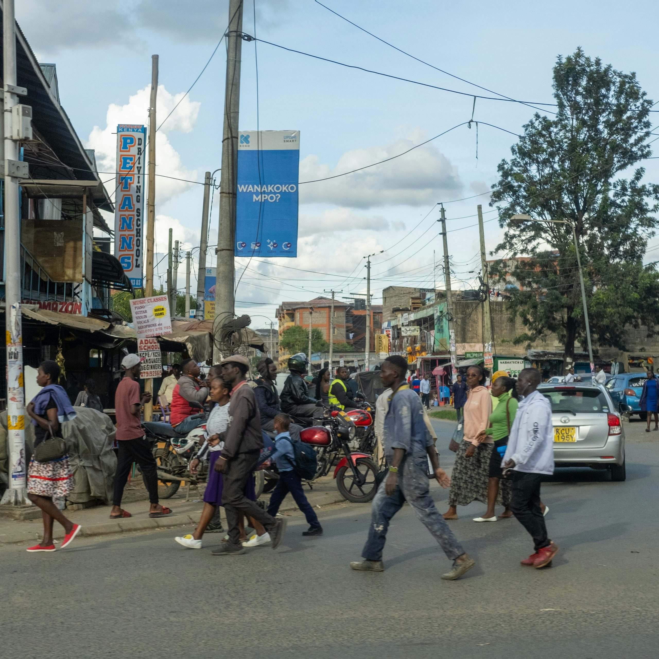
Pedestrians are among the most at-risk and overlooked road users on our streets. Yet, we are all pedestrians at some time in our daily journeys.
Walking is healthy, sustainable, equitable, and free. When safe, it is an answer to many of society’s ills.
We know the road safety implementations that can keep pedestrians safe and make their journeys more comfortable and less stressful.

Intersections are particularly unsafe for pedestrians. It’s where a lot of crashes occur.
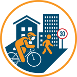
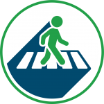
Interventions that protect pedestrians and other road users at intersections are well-proven. They include 30 km/h zones, pedestrian facilities, including footpaths and pedestrian crossings, and traffic calming, such as speed bumps. Find out about the evidence base for these interventions in our Accountability Toolkit.
These interventions are simple and cost-effective, especially in relation to the money and resources that are being spent building and maintaining unsafe roads.
Investing in 30 km/h, pedestrian facilities, and traffic calming saves lives. It also has many other benefits. When people can walk safely, it can improve health, support climate targets, and make societies fairer for those who cannot afford a private vehicle. Safe roads make our communities more livable.
Road safety interventions like these have an excellent return on investment. iRAP estimates that worldwide for every US$ spent on road infrastructure like these interventions, has a US$8 return on investment through reduced health and insurance costs, loss of income and more. Check out their Safety Insights Explorer.
That’s why we are doing the Mobility Snapshots: to identify those interventions and advocate for change.
We want communities to know that their unsafety is unacceptable and demand the right interventions using data and evidence.
We want decision makers to ensure every person’s right to safe mobility and to act on evidence to protect people.